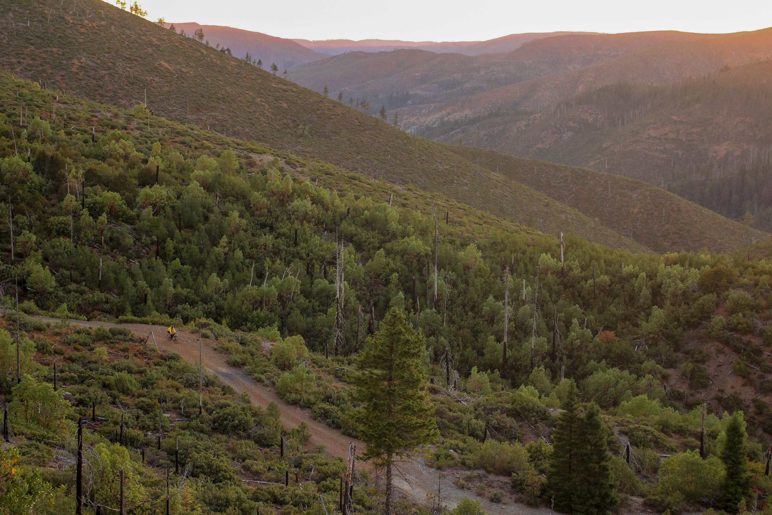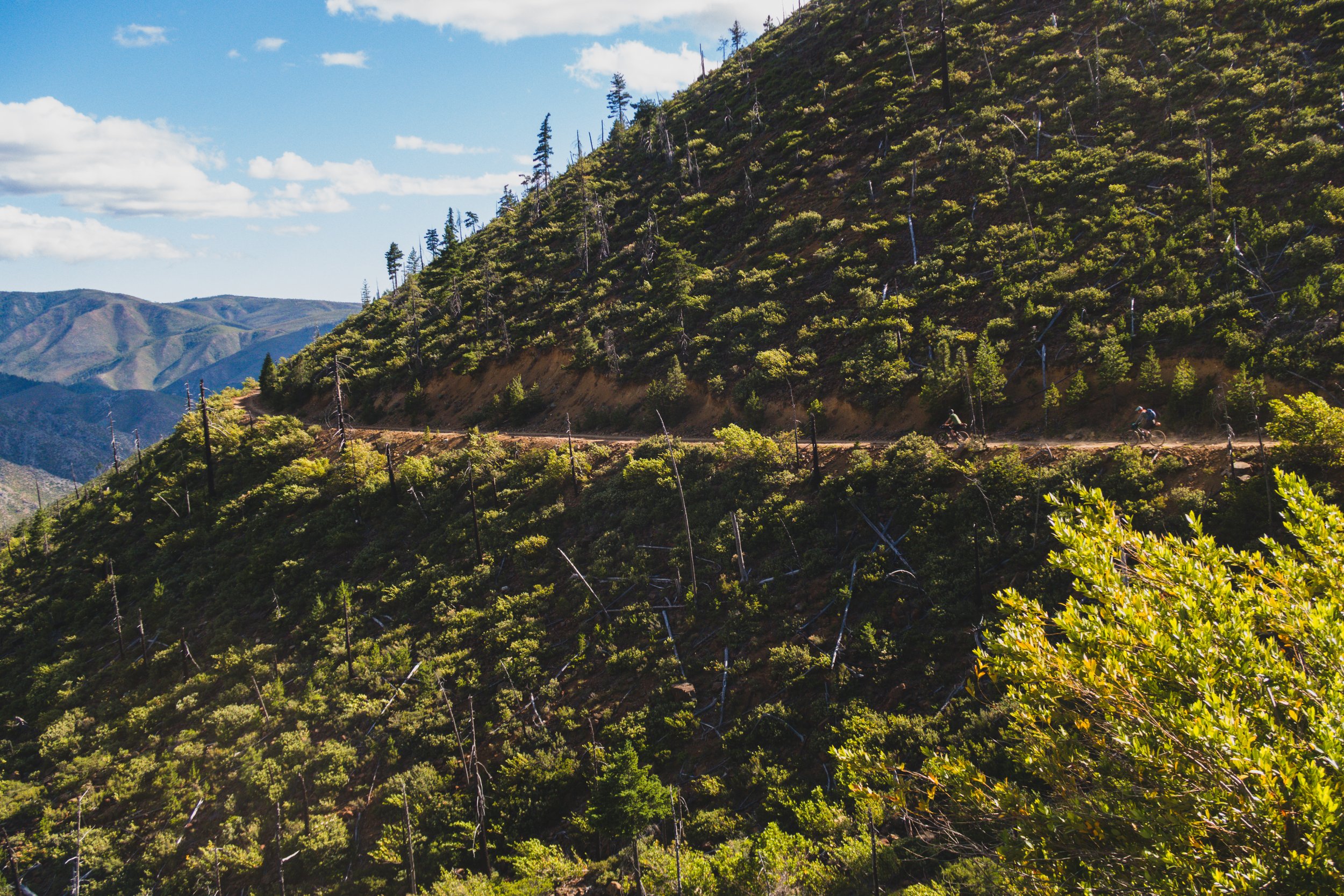

Descending on the Low Divide Rd.
Crest to Coast
170 miles
23k ft. elev.
Mostly dirt
3-5 days
spring-fall

Part of the appeal of living in the Rogue Valley is not just the ride options in the valley itself but the vast amount of public land and varied terrain in the greater region. Situated between the southern flank of the Cascades and the northern reaches of the Coastal Redwood forest, we’re pretty spoiled.

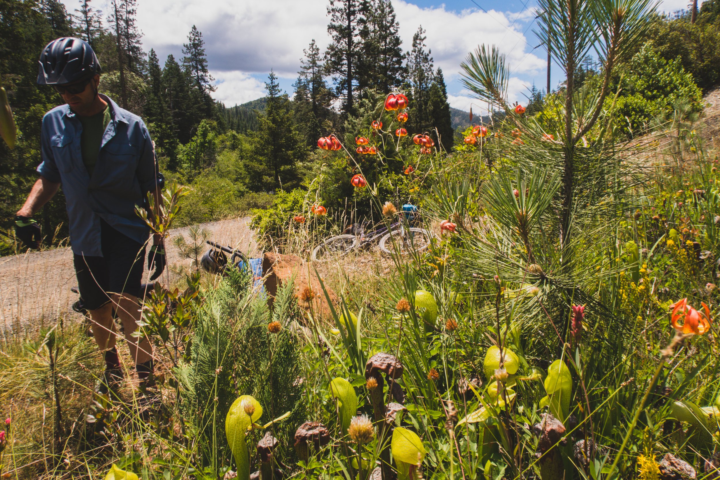
Darlingtonia aka California Pitcher plant is carnivorous and endemic to this region.
Back in 2014 I mapped out a route from Ashland to Brookings and some friends and I rode it that spring. We were amazed how varied the terrain was, it seemed like we had ridden through several distinct ecosystems that were far too different to be so close in proximity.

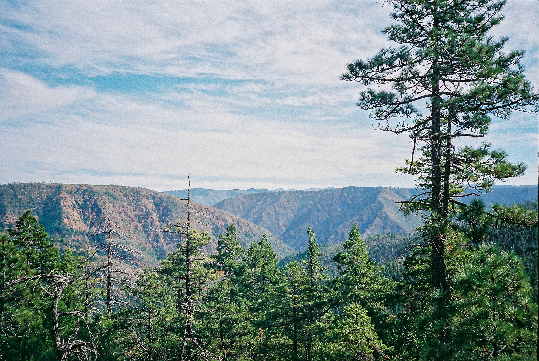
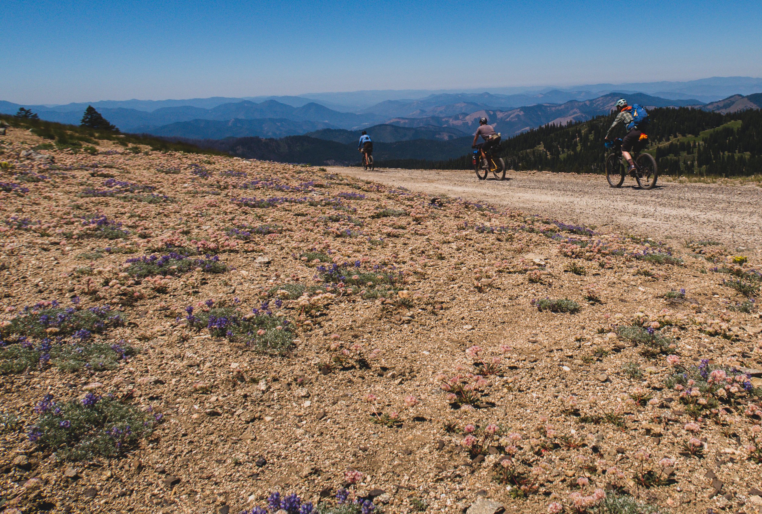
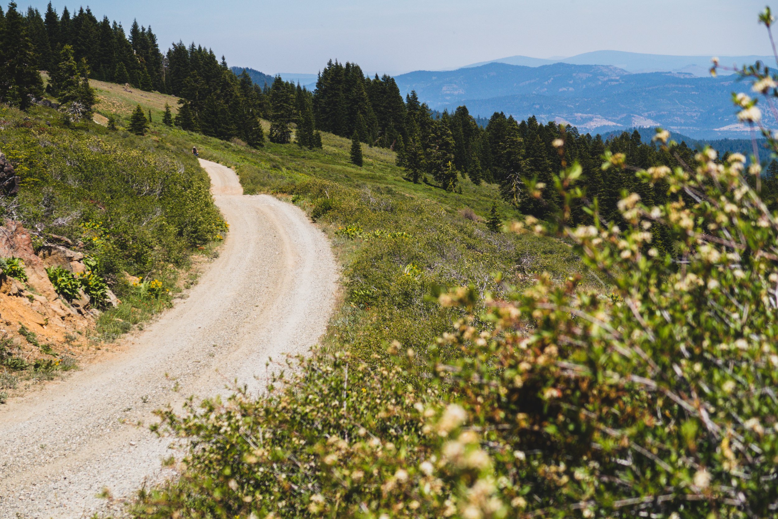
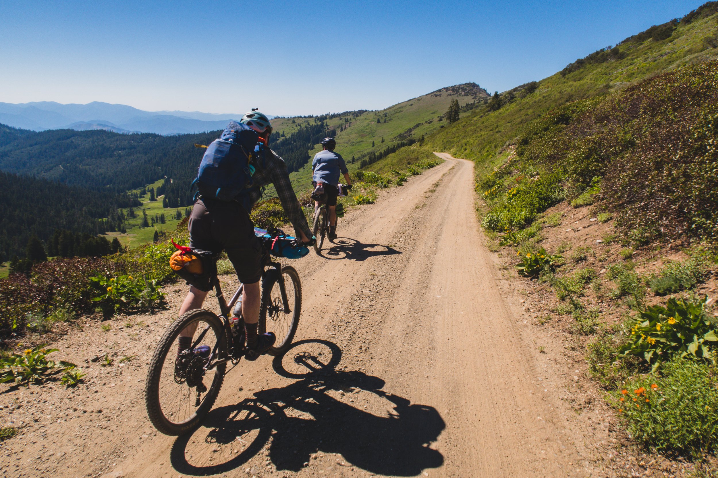
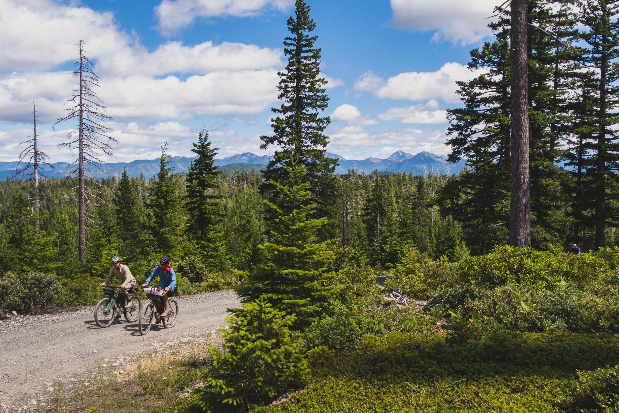
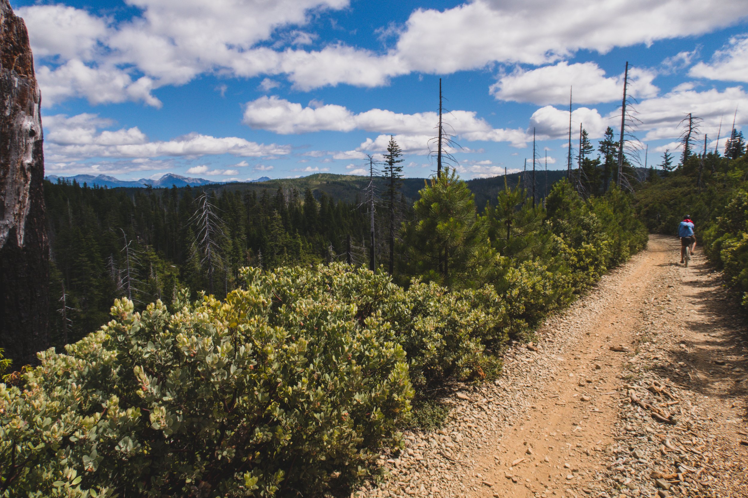
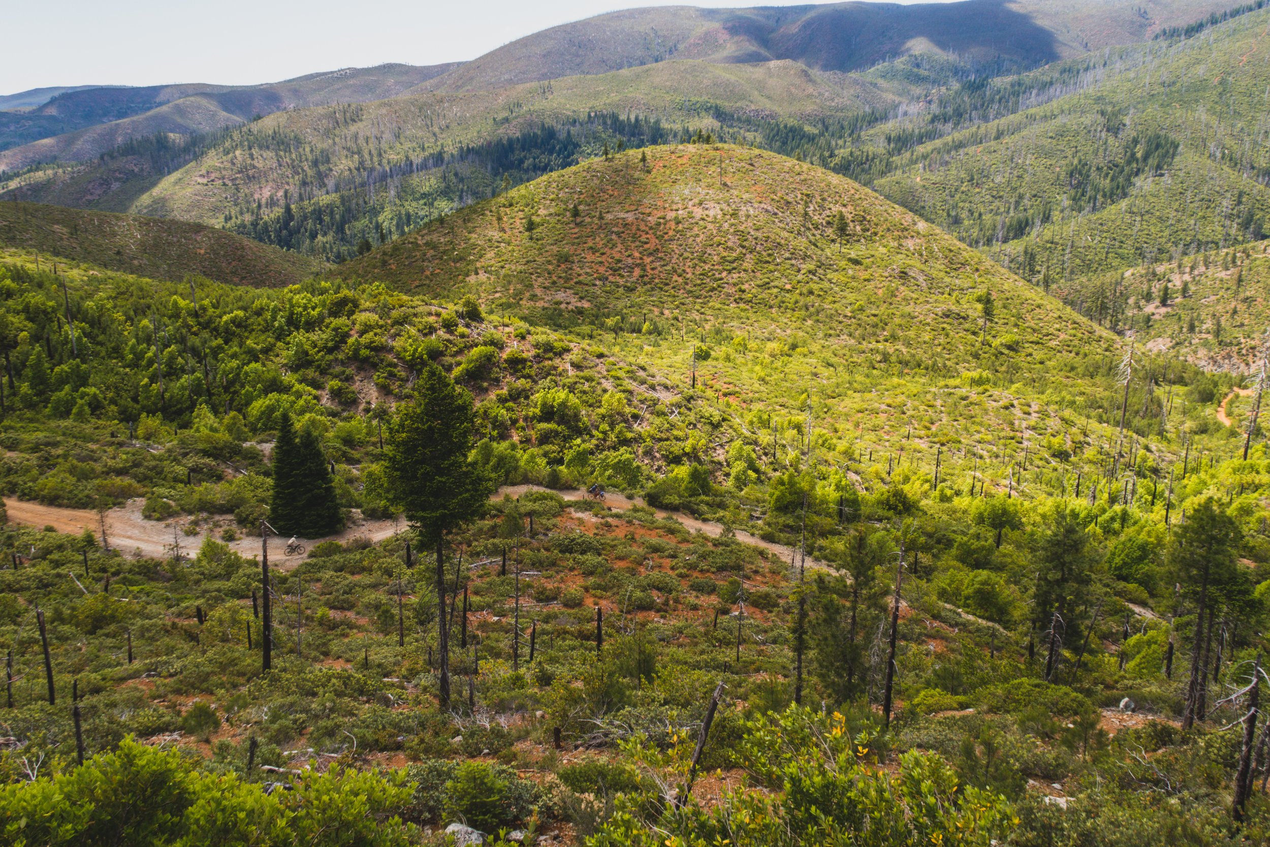
After that first trip I have been tweaking the route to eliminate as much pavement as reasonably possible. This route became a project, almost an obsession but has been a rewarding process. Eliminating pavement, and thus busy roads proved challenging. There are numerous obstacles to contend with: wilderness areas, private land, wildfires, and steep topography. You could theoretically cut out even more pavement but it would add a lot of miles and elevation, and the goal is for this route to be doable over a long weekend. By riding out the Siskiyou crest you eliminate a good bit of pavement and get to enjoy one of the best dirt roads this region has to offer. The crest is a geological divide between the Klamath and Rogue/Applegate drainages and provides plenty of views and if you time it right, a glorious display of wild flowers.

Wild flowers on the Siskiyou Crest in June
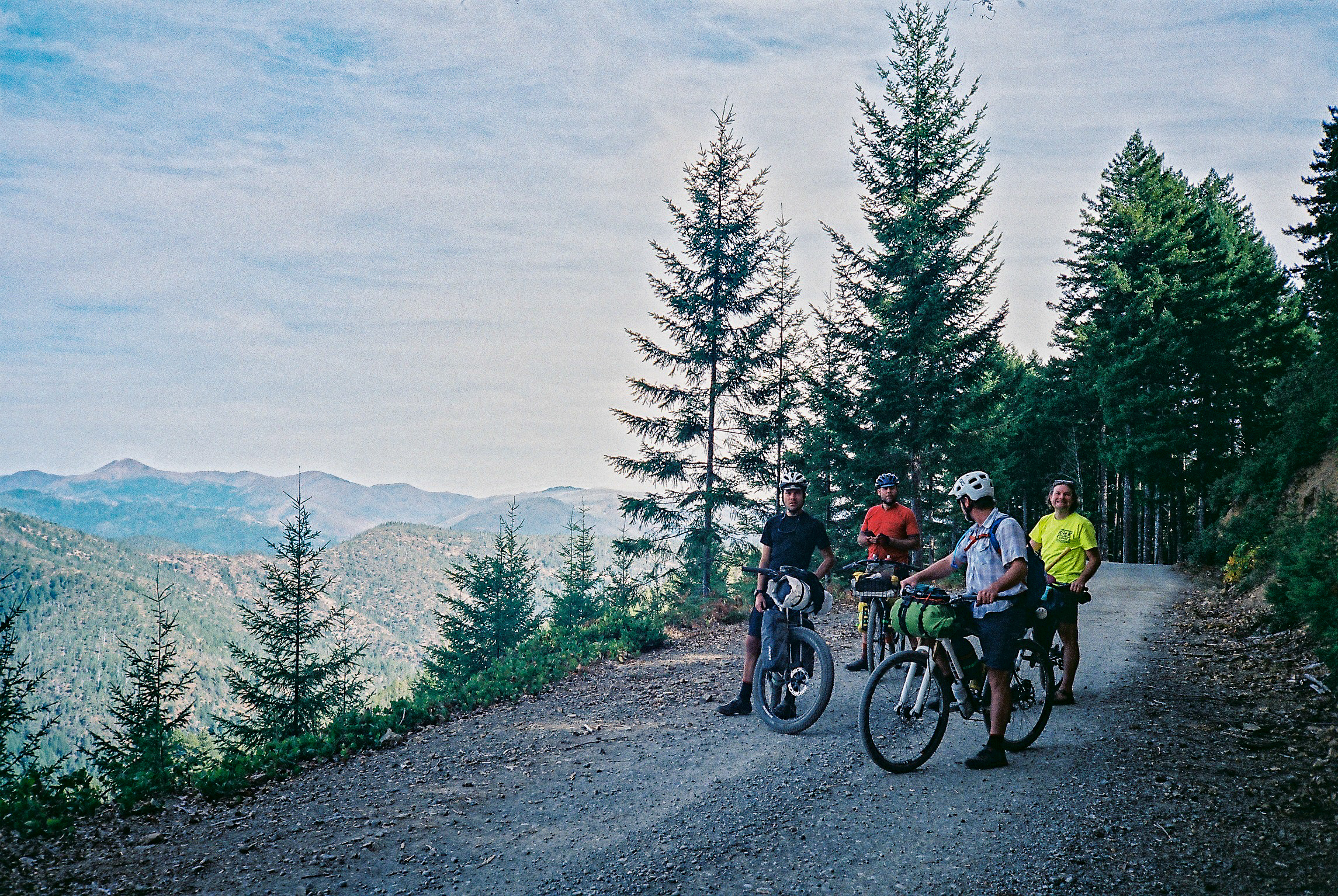
No different than much most forested public lands, there are miles of logging roads between the Rogue Valley and the coast. Thus, many different ways you can link the two. This route strikes a good balance of providing the best scenery, challenging terrain and minimal time on trafficked roads. It is by no means the only way to go and I encourage you to alter it as you see fit. Please let us know if you find anything especially noteworthy!

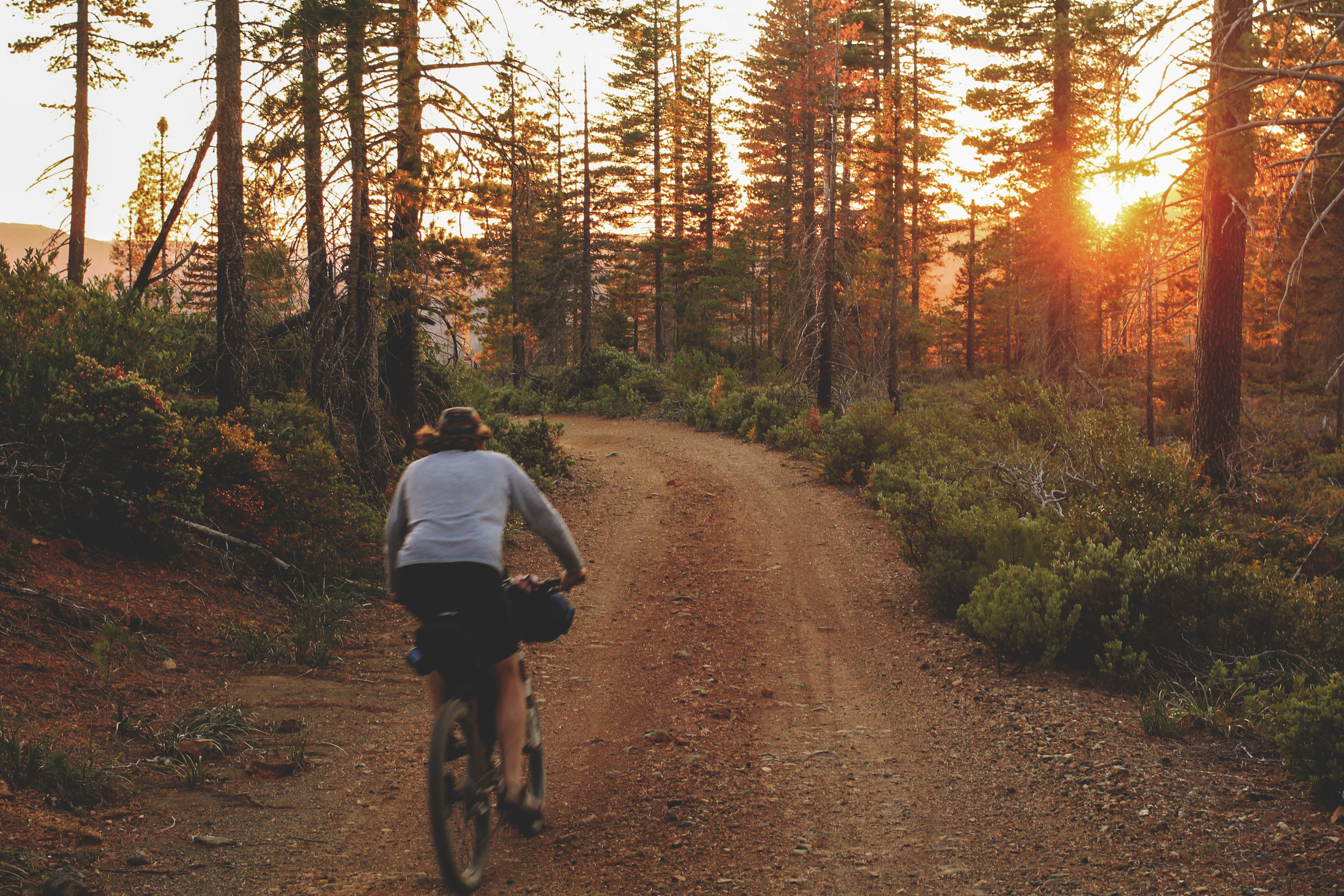
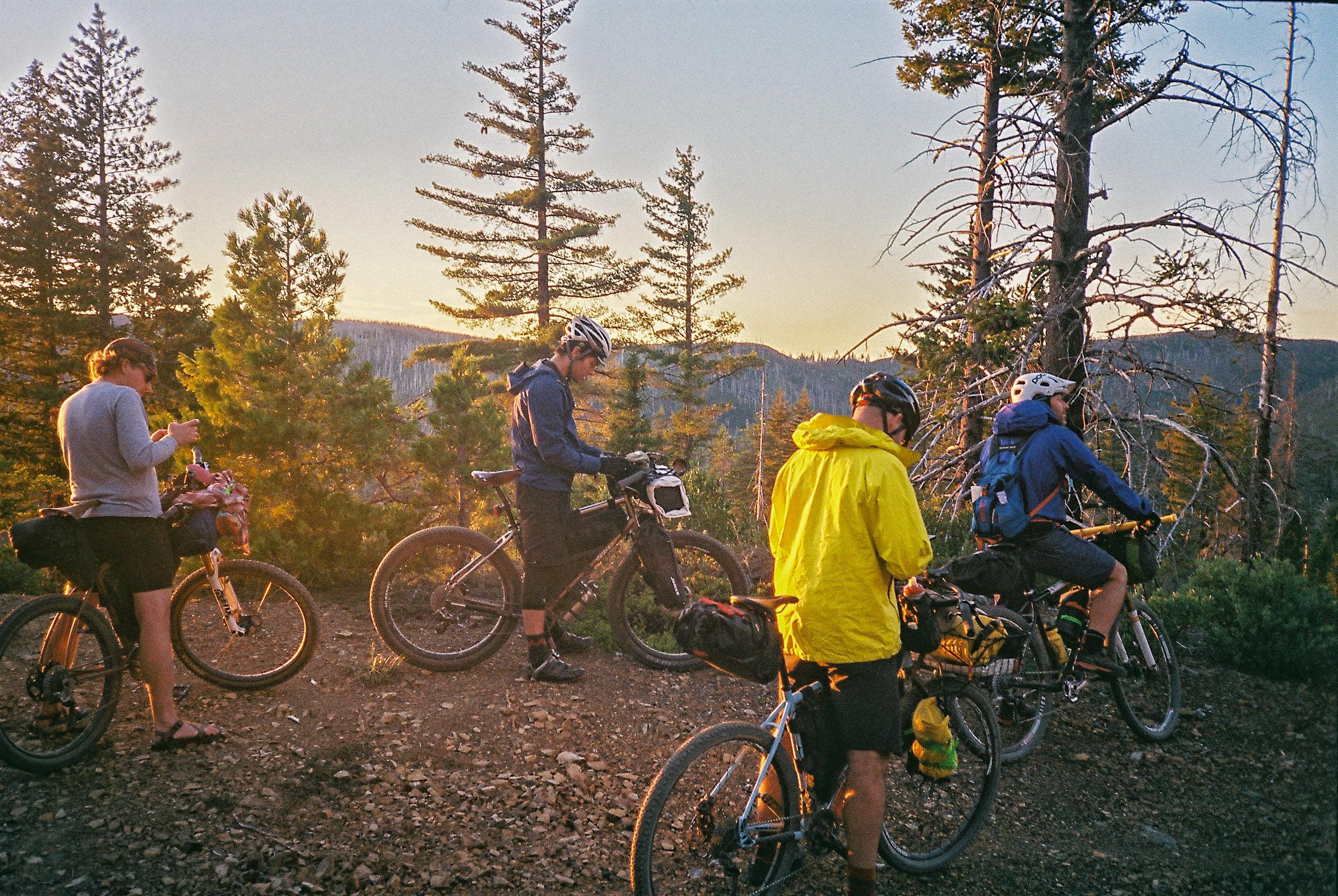
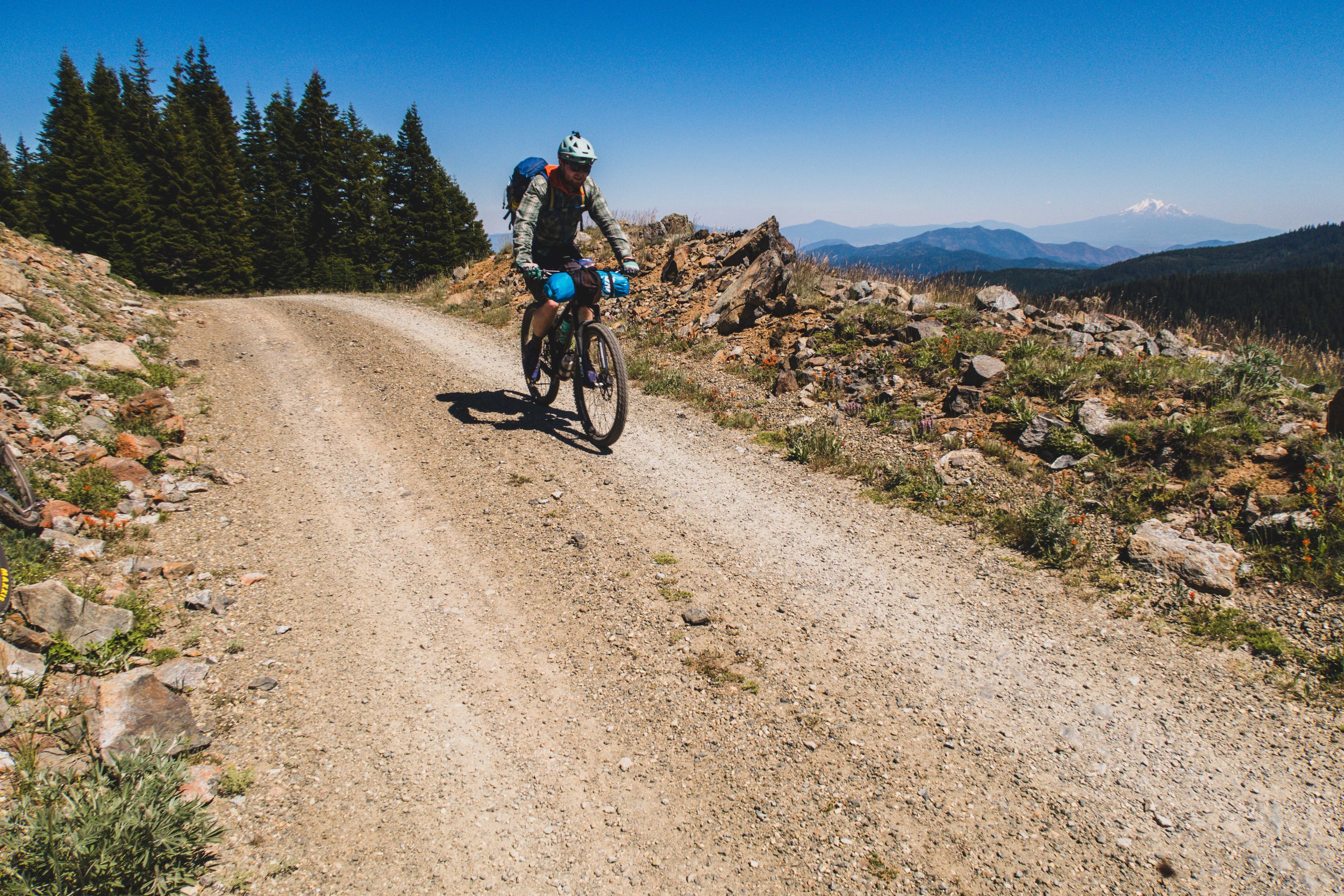
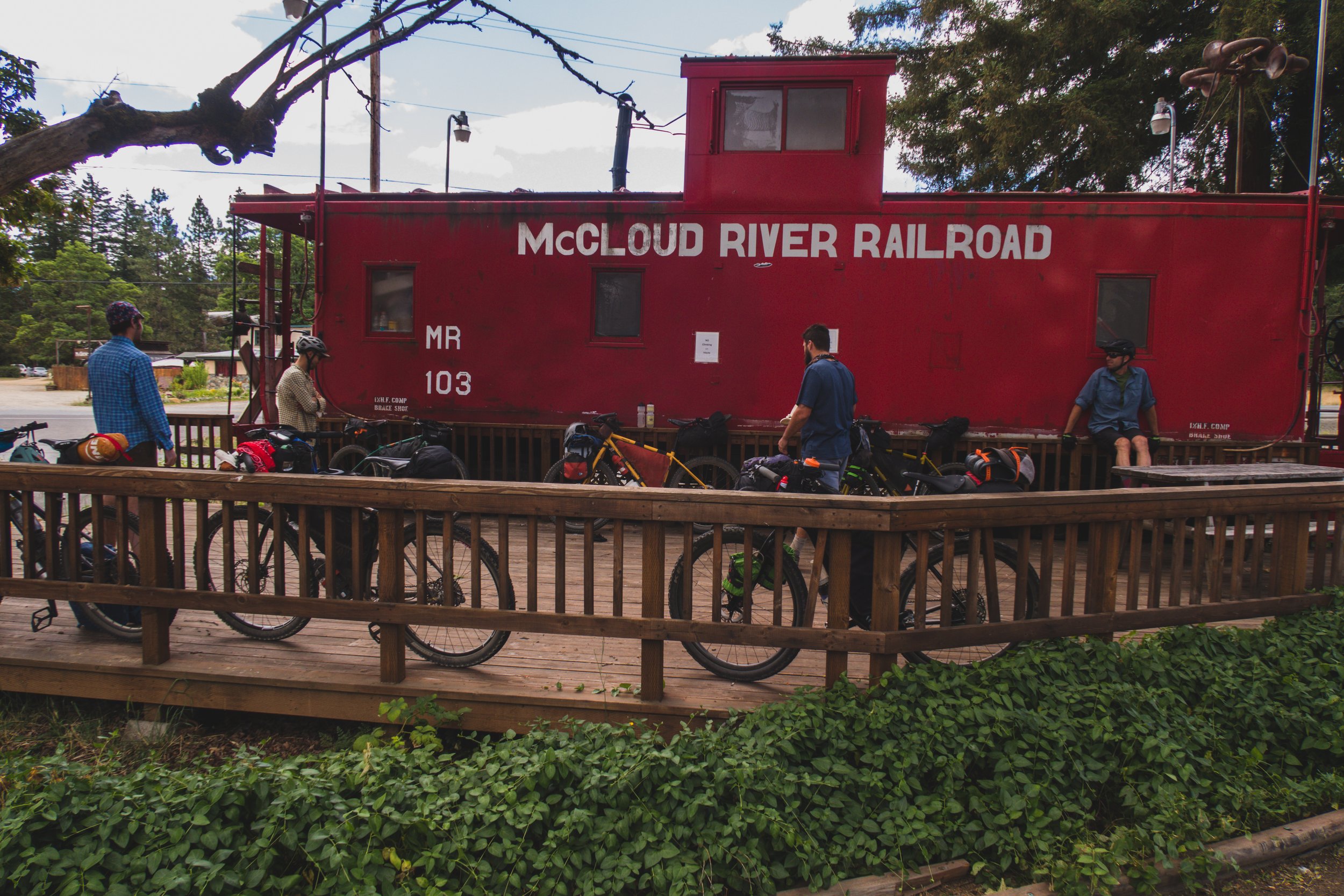
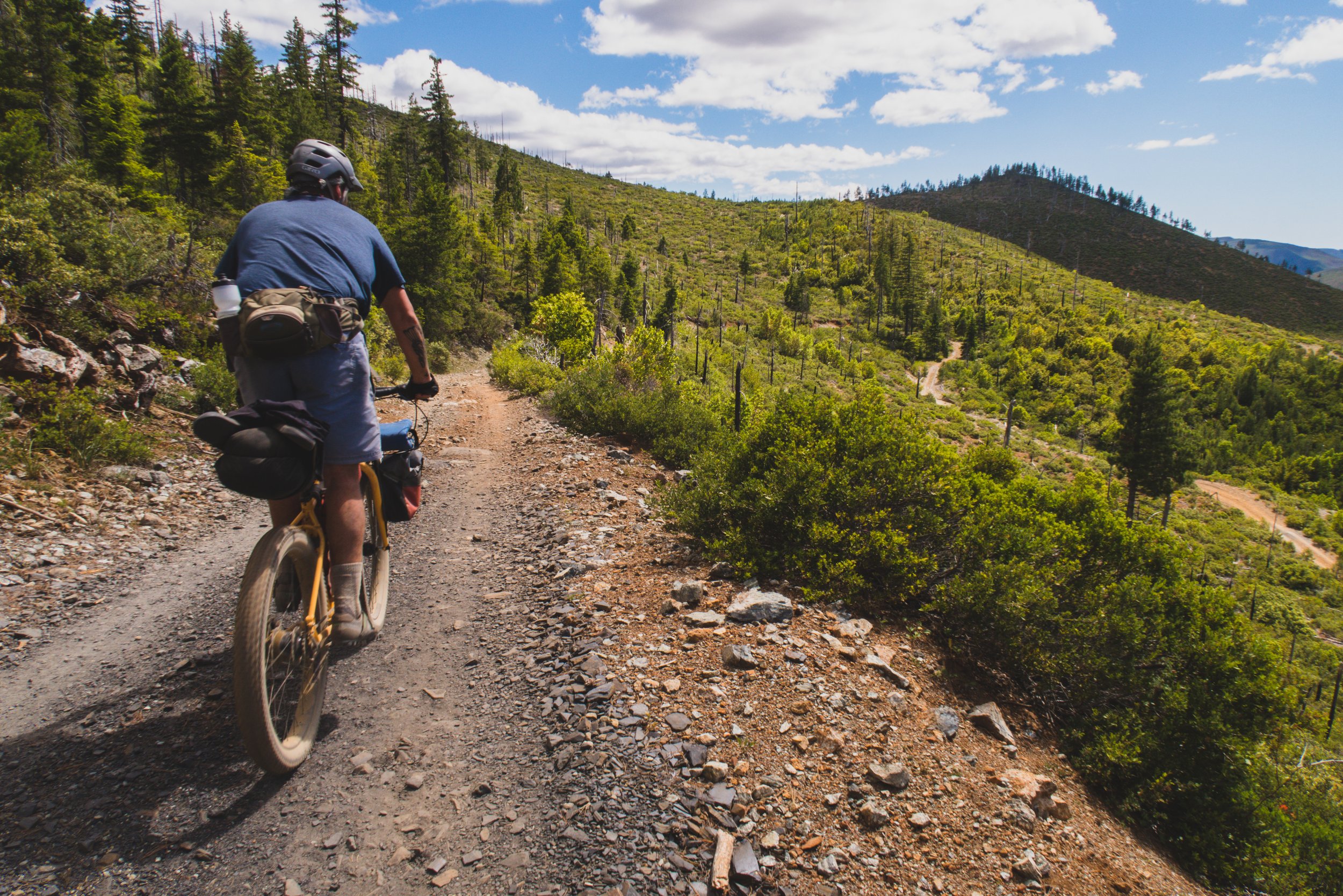
Starting out by climbing up the Siskiyou Crest makes for a challenging first day. You will climb ~5k feet in the first 17 miles. The good news is there are several camping options once you’re up there, the first being Mt. Ashland Campground at mile 15. Depending on your time frame and mileage goals you can call it a day there or keep going. Once you make it up to the Mt. Ashland lodge you’ve done the bulk of the climbing for the first day but there’s still 2,500 ft. of climbing before the long descent to Applegate lake. The lake is a good goal for day one if trying to do the route in three nights. There are multiple camping options on and around Applegate lake, even during peak season you won’t have an issue finding a place to set up camp.

Mt. Elijah Tie Trail #1206A
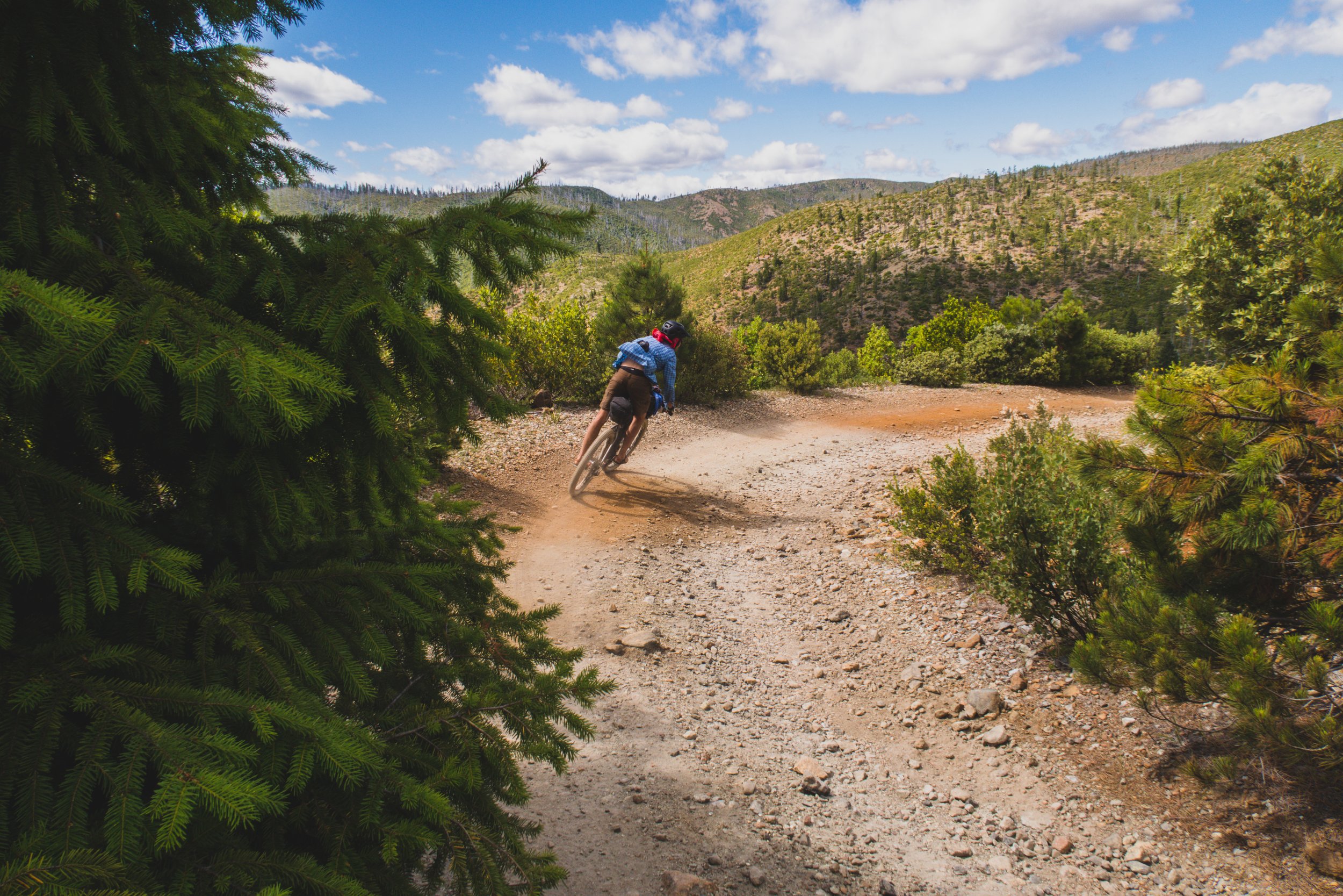
After leaving Applegate lake, the route takes you up Sturgis Fork Rd. which ends at a trailhead. Take the Sturgis Fork Trail #903 for 0.9mi to the Boundary Trail #1207. Go right on the Boundary trail then quickly left on Mt. Elijah Trail #1206 which brings you to a T intersection where you will go right on Mountain Lake/Bigelow Lake trail #1214 and finally stay right on the Mt. Elijah Tie Trail #1206A (AKA Old FS Rd 170) which eventually turns into NF 070 RD. All those trails add up to just about 3 miles in total but requires some good route finding nonetheless. You also gain about 1200 ft. in those 3 miles and the switchbacks on the Mt. Elijah trail are steep so plan on doing some hiking. You will be rewarded though as the forest up around Bigelow Lake is stunning and soon you will be descending for a bit down towards Grayback Creek.

Bolan Lake
Depending on your progress you may want to camp at either Grayback Campground or Cave Creek Campground, both of which are slightly off route on HWY 46/Caves HWY. If you need to re-supply in Cave Junction you can take HWY 46 into town which will add some paved miles to the route. Otherwise continue on by climbing up to Bolan Lake which also has a campground. The Bolan Fire Lookout once stood above Bolan Lake but was destroyed in the Slater Fire in 2020. Just about 5 miles beyond Bolan Lake you will intersect Grayback Rd. where you’ll be treated to a ripping paved descent into O’brien.

RIP Bolan Lookout
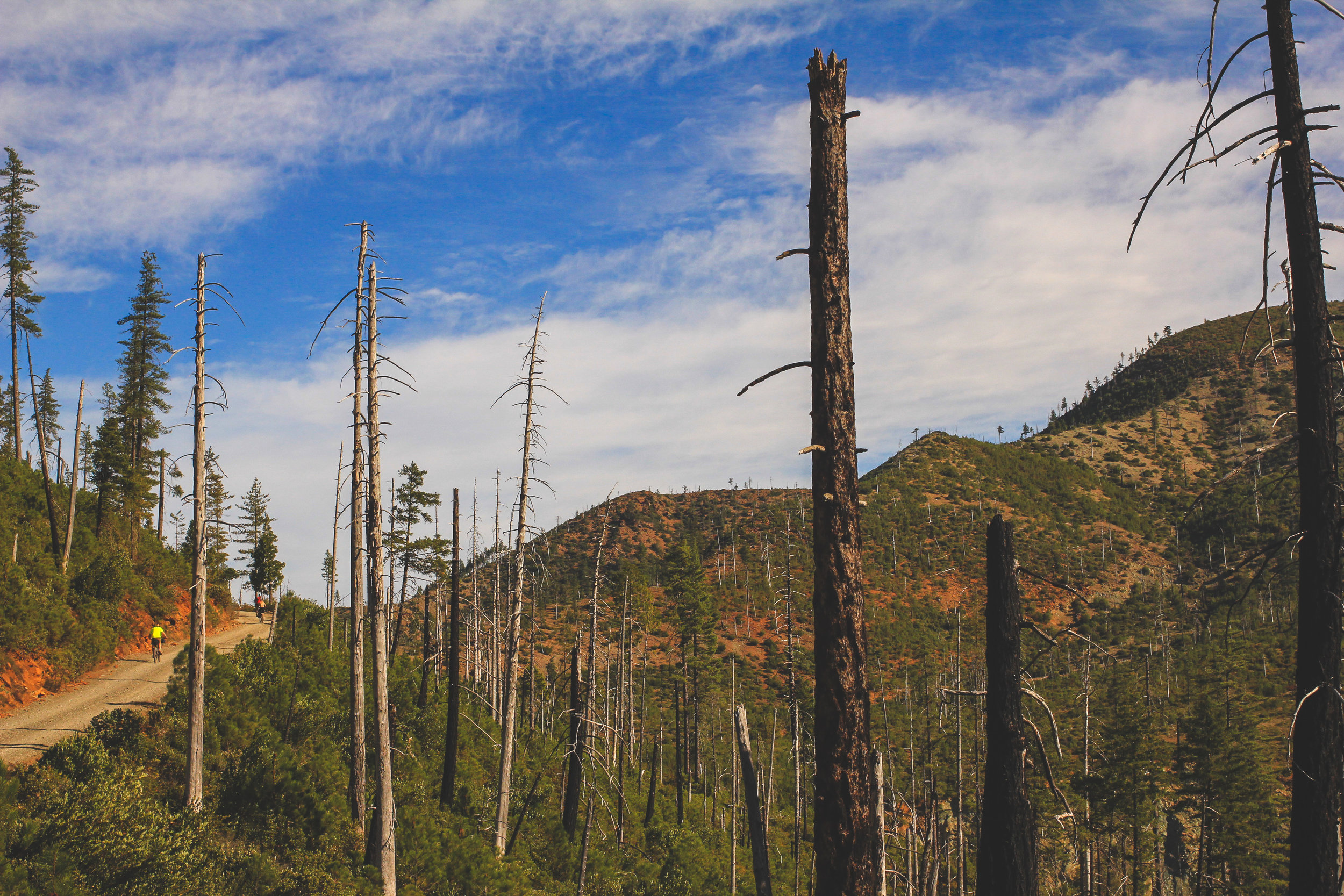
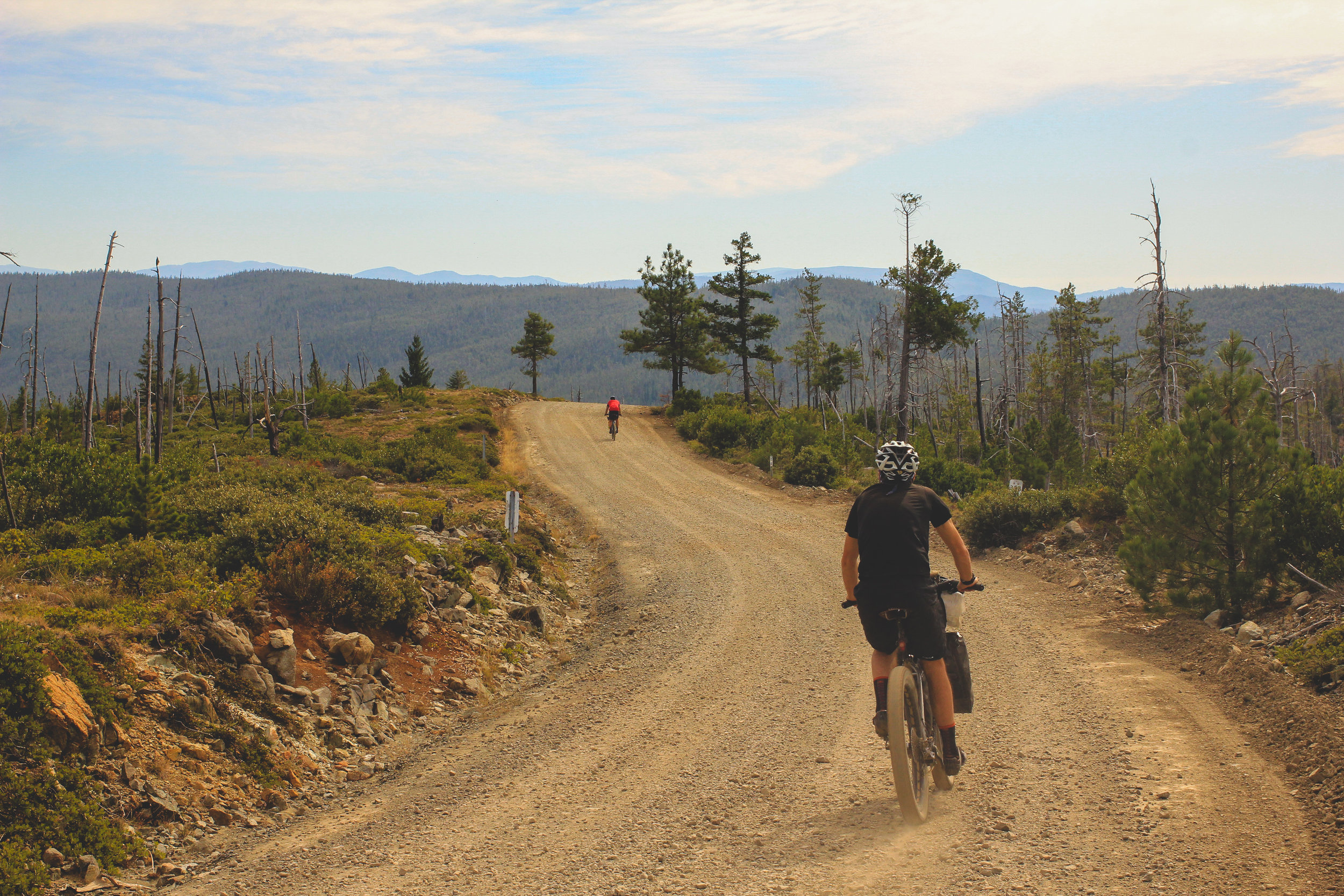
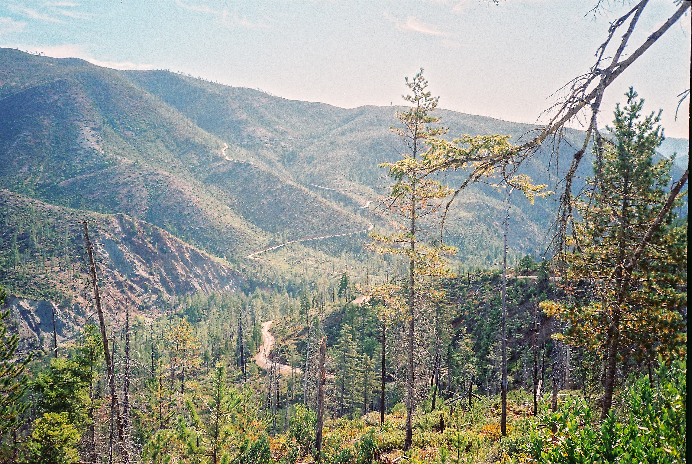
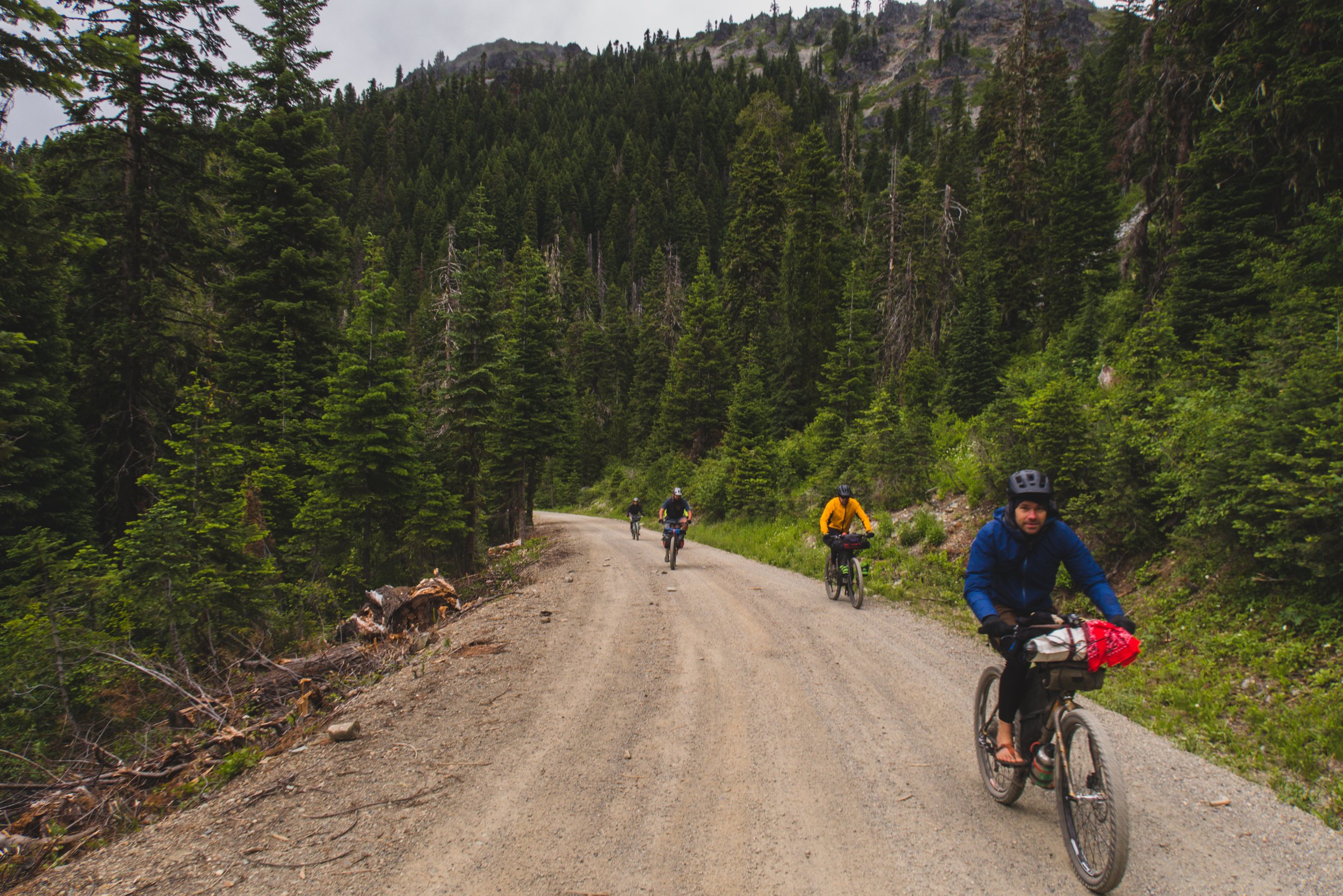
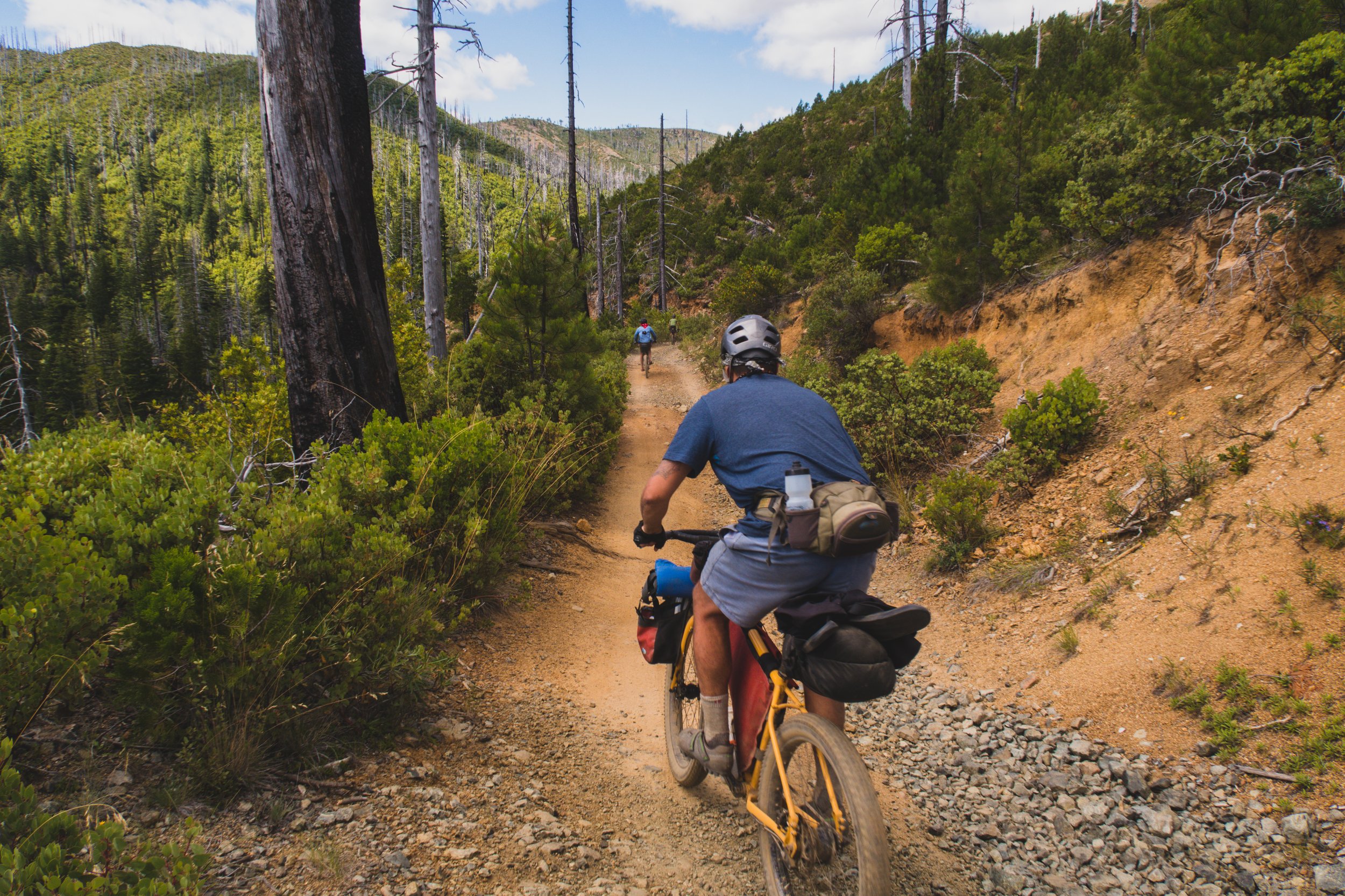
O’Brien marks the point in which you are roughly 2/3’s the way to the ocean. It is also marks a major ecological distinction. After crossing HWY 199, Low Divide Rd. takes you up and over to the North Fork Smith River and through the Biscuit Fire burn area of 2010. The landscape is decisively different than what you have seen thus far. It is also a very remote area, with rugged roads that seldom see anything other than OHV use. Before heading into the last section you may want to re-supply in Cave Junction which has a grocery store, natural food store and some restaurants or in O’Brien. The convenient store in O’Brien is stocked better than most gas stations but still has limited options. Water is also going to be harder to source on this section as it is drier and more exposed, plan to carry extra.

Filtering water from N Fork Diamond Creek
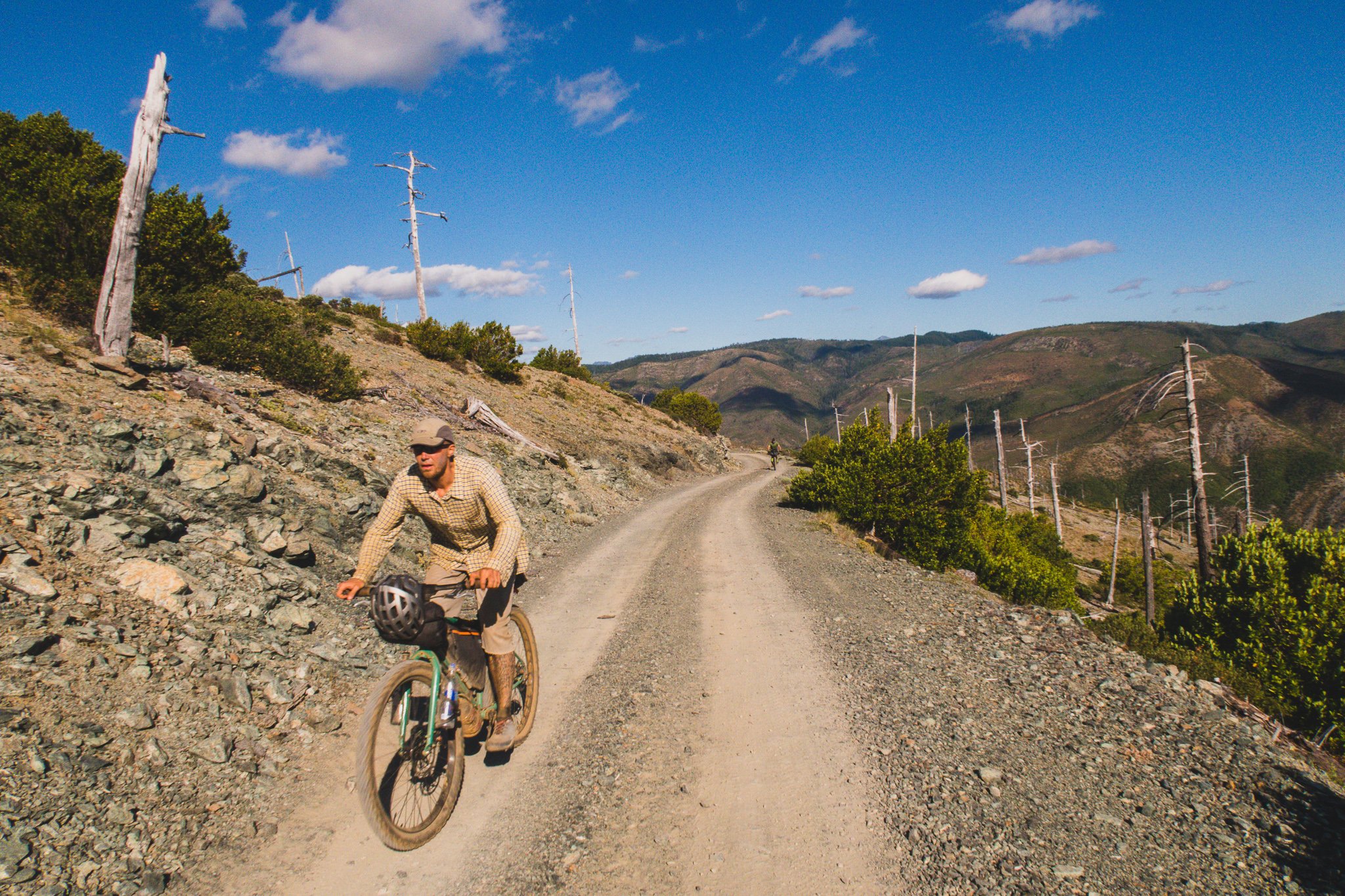
The difficult terrain, lack of supplies, and remoteness of this route make it suited for experienced bike packers. Also, a quick glance at the satellite imagery will inform you that there are a lot of cannabis grows (legal and otherwise) along the final third of the route. Be extra sure you’re on track and stay off private land. We have only had positive encounters out there but it is remote and emergency services are stretched thin and far away. You should also expect to not have cell service for much of the route.

Carrying a GPS or phone with the route uploaded is essential as there are a lot of unmarked junctions, many of the roads aren’t signed or have different names. You will most likely be surprised how remote these areas are, make sure you and your bike are in sound order and don’t ride it alone. Snow can be found up on the crest into July some years, do your research and be prepared to alter the route or do some post holing.
Water: you must carry a filter, see map for most reliable sources. Spring/early summer after good snow pack there will be plenty of streams flowing. Summer/dry years not so much.
Food: Plan to carry most of your food, you can re-supply in Cave Junction which has a grocery store or O’Brien which has a convenient store and deli (think chimichangas).
Camping: The map below has the developed sites listed. Most of the route is in FS land and there are many options for dispersed camping. Please pack in what you pack out, know and follow the fire restrictions.
Maps: Klamath NF, Rogue River-Siskiyou NF, Six Rivers NF
Getting Back: Point Transit operates a bus daily from Brookings to Ashland and allows bikes. Self shuttle or make it into a loop!